
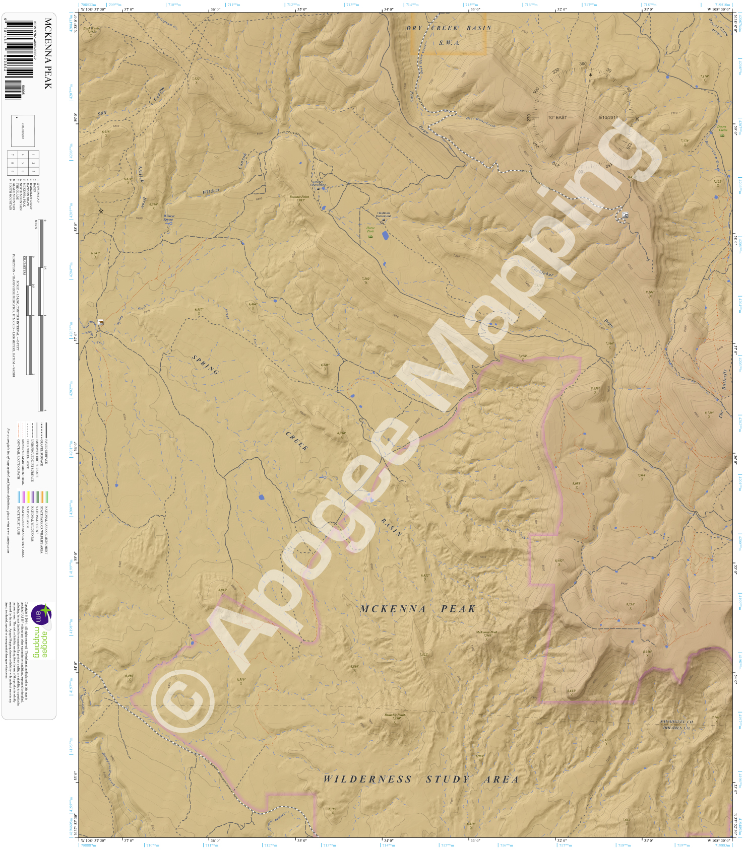
Description
Prominent Features:
McKenna Peak Wilderness Study Area, Dry Creek Basin State Wildlife Area, Spring Creek Basin, Pony Draw, Niblick Draw, Still Canyon, Wildcat Canyon, Cocklebur Draw, The Butterfly, Desert Claim Arroyo, McKenna Peak, Brumley Point, Bassnet Point, Buck Knob, Disappointment Creek, Spring Creek, Dead Horse Creek, Bassnet Homestead, Heldman Homestead, Horse Park.
Adjacent Maps:
NW: Gypsum Gap, CO
N: Basin, CO
NE: Barkelew Draw, CO
W: Dawson Draw, CO
E: North Mountain, CO
SW: The Glade, CO
S: Glade Mountain, CO
SE: South Mountain, CO
Digital Map:
The free Avenza Maps App provides customers the ability to purchase digital versions of all amTopo maps for both online and offline use. The Avenza Maps App lets you see your current GPS location and utilize navigation, tracking, and measuring tools plus add map features and layers.
To purchase a digital copy now, choose from the following links:
 McKenna Peak, CO – Color Hillshade McKenna Peak, CO – Greyscale Hillshade
To get started, download the Avenza Maps App, then visit the Apogee Mapping, Inc. Avenza Digital Map Store to browse all available maps.


Reviews
There are no reviews yet.