
Description
Prominent Features:
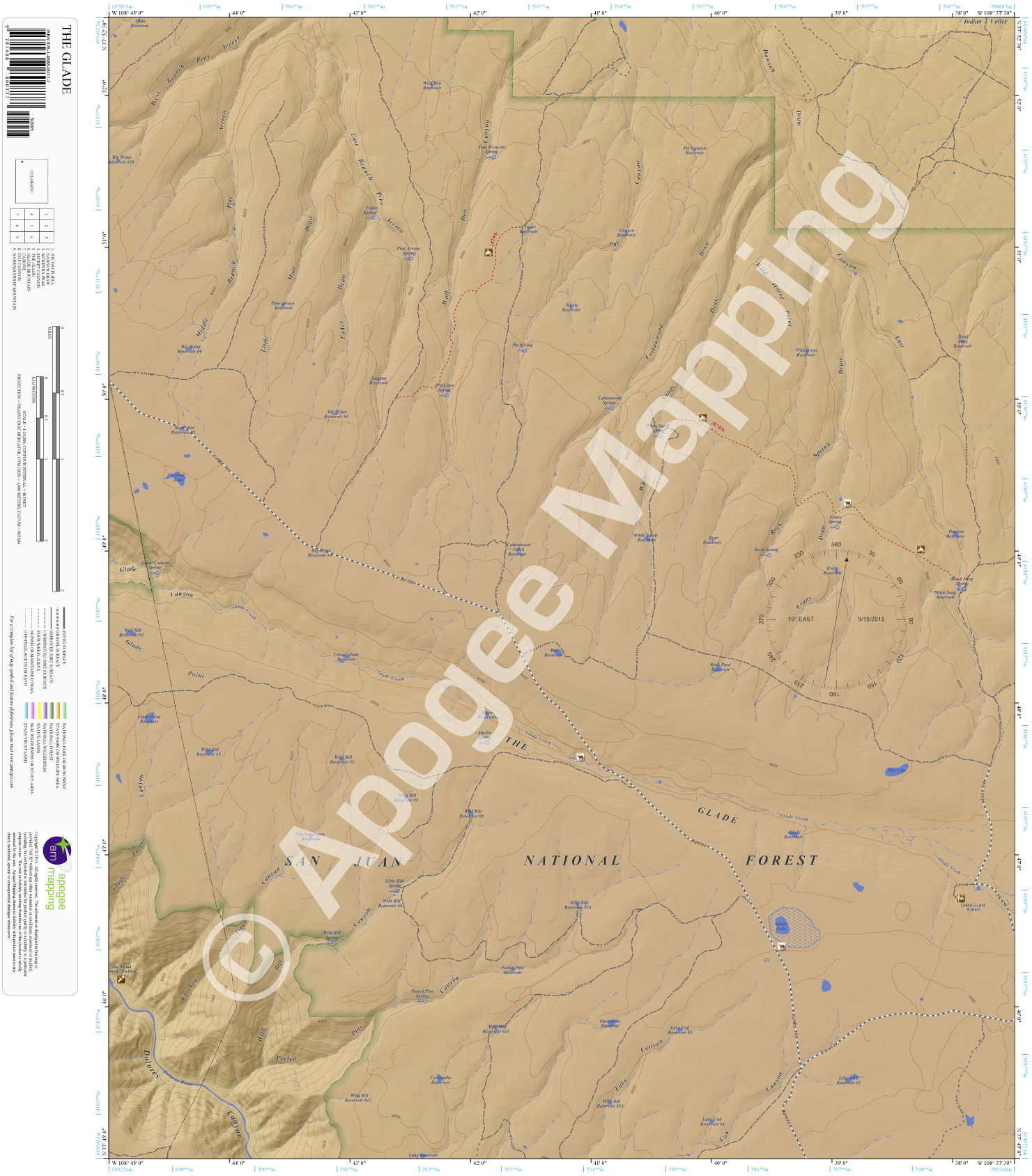
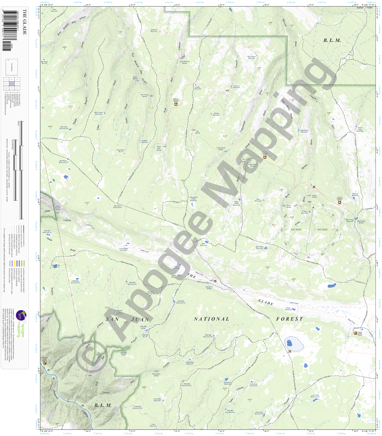
San Juan National Forest, The Glade, Indian Valley, Dolores Canyon, Glade Point Canyon, Glade Canyon, Chicken Aspen Canyon, Wild Bill Canyon, Peeled Pine Canyon, Lake Canyon, Cow Canyon, Glade Point, West, East and Little Branch Pine Arroyo, Little Mair Draw, Fader Draw, Wolf Den Canyon, Pat Canyon, Cottonwood Draw, White Sands Draw, Rock Spring Draw, Evans Draw, Dawson Draw Canyon East, Glade Lake, Dolores River, Glade Creek, Glade Guard Station.
Adjacent Maps:
NW: Joe Davis Hill, CO
N: Dawson Draw, CO
NE: McKenna Peak, CO
W: Secret Canyon, CO
E: Glade Mountain, CO
SW: Cahone, CO
S: Doe Canyon, CO
SE: Narraguinnep Mountain, CO
Digital Map:
The free Avenza Maps App provides customers the ability to purchase digital versions of all amTopo maps for both online and offline use. The Avenza Maps App lets you see your current GPS location and utilize navigation, tracking, and measuring tools plus add map features and layers.
To purchase a digital copy now, choose from the following links:

To get started, download the Avenza Maps App, then visit the Apogee Mapping, Inc. Avenza Digital Map Store to browse all available maps.


Reviews
There are no reviews yet.