
Description
Prominent Features:
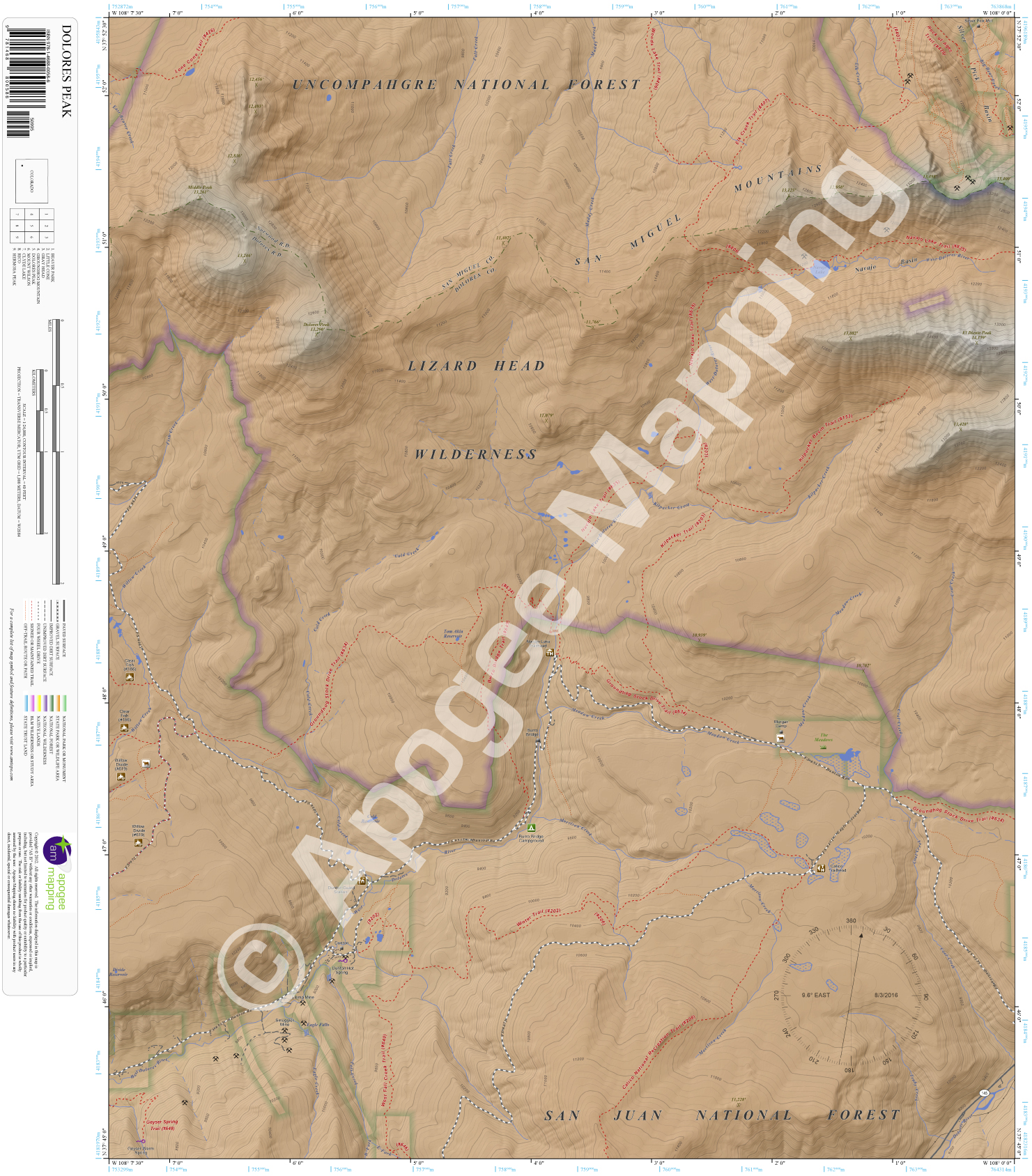
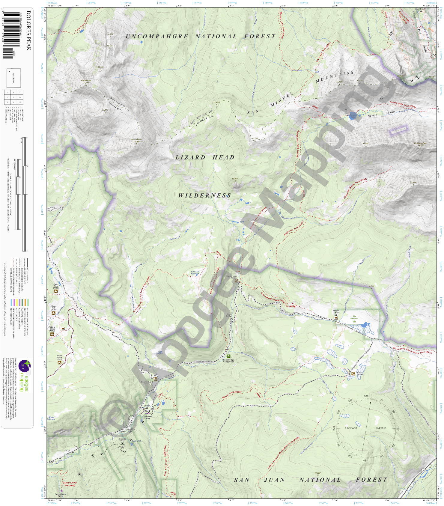
Lizard Head Wilderness, Uncompahgre National Forest, San Juan National Forest, Dolores Peak, San Miguel Mountains, Middle Peak, El Diente Peak, Silver Pick Basin, Navajo Lake, Dolores River, West Dolores River, Kilpacker Creek, Morrison Creek, Cold Creek, Fall Creek, Fish Creek, Meadow Creek, Muddy Creek, Big Bear Creek, Calico National Scenic Recreation Trail, Winter Trail, West Fall Creek Trail, Geyser Spring Trail, Groundhog Stock Drive Trail, Lone Cone Trail, Woods Lake Trail, Elk Creek Trail, Navajo Lake Trail, Kilpacker Trail, Dunton, Dunton Guard Station, Calico Trailhead, Navajo Lake Trailhead, Morgan Camp, Silver Pick Mill, Burro Bridge Campground.
Adjacent Maps:
NW: Beaver Park, CO
N: Little Cone, CO
NE: Gray Head, CO
W: Groundhog Mountain, CO
E: Mount Wilson, CO
SW: Clyde Lake, CO
S: Rico, CO
SE: Hermosa Peak, CO
Digital Map:
The free Avenza Maps App provides customers the ability to purchase digital versions of all amTopo maps for both online and offline use. The Avenza Maps App lets you see your current GPS location and utilize navigation, tracking, and measuring tools plus add map features and layers.
To purchase a digital copy now, choose from the following links:

To get started, download the Avenza Maps App, then visit the Apogee Mapping, Inc. Avenza Digital Map Store to browse all available maps.


Reviews
There are no reviews yet.