
Description
Prominent Features:
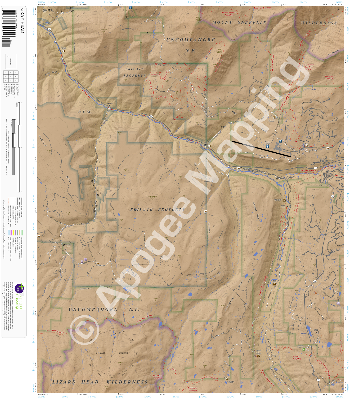
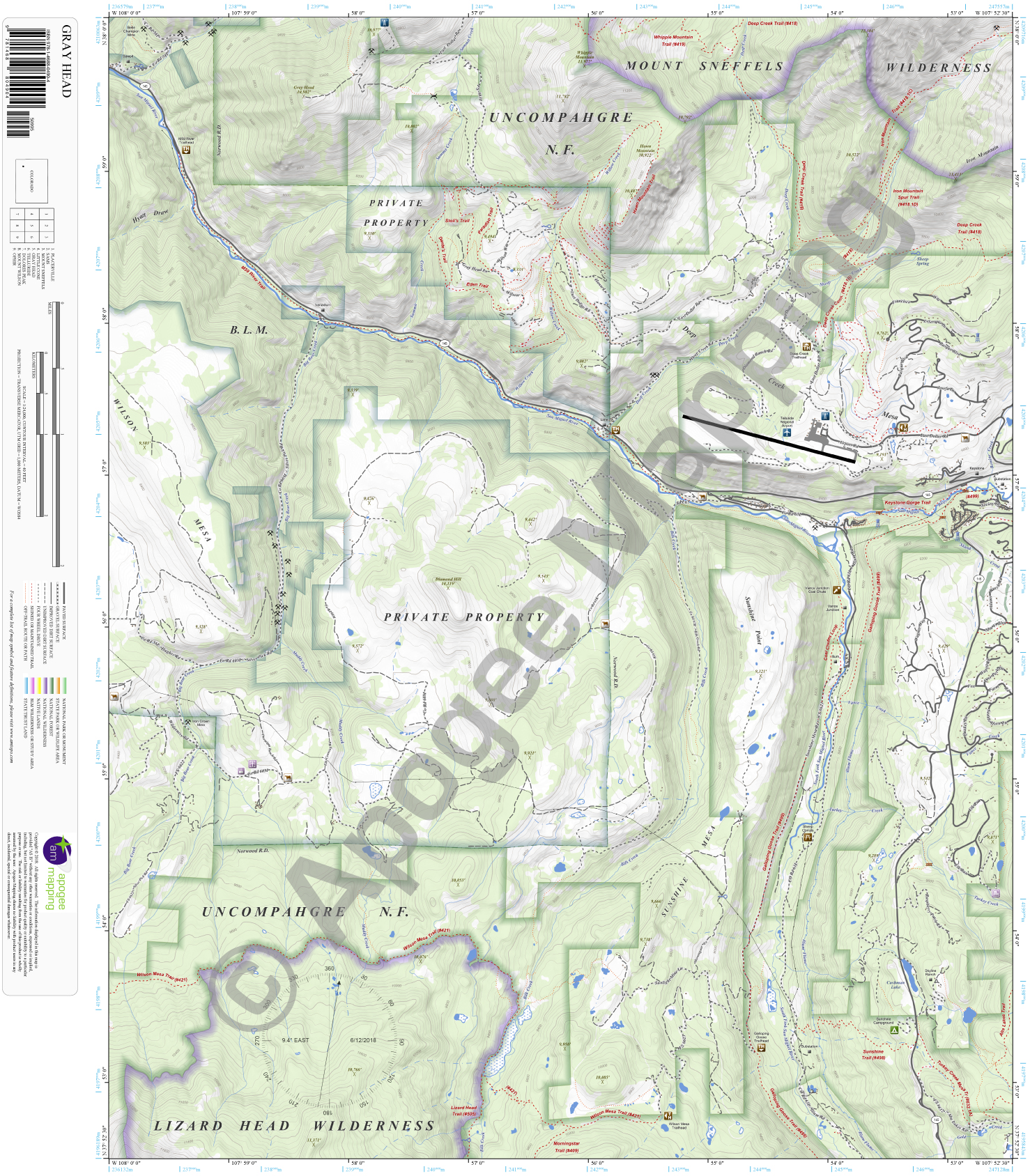
Mount Sneffels Wilderness, Lizard Head Wilderness, Uncompahgre National Forest, Sunshine Mesa, Wilson Mesa, Deep Creek Mesa, Sunshine Point, Gray Head, Whipple Mountain, Hawn Mountain, Iron Mountain, Diamond Hill, Hyatt Draw, Cushman Lake, San Miguel River, South Fork San Miguel River, Big Bear Creek, Deep Creek, Willow Creek, Sheep Creek, Muddy Creek, Bilk Creek, Vance Creek, Turkey Creek, Gold Creek, Ilium Flume, Wilson Mesa Trail, Lizard Head Trail, Morningstar Trail, Galloping Goose Trail, Sunshine Trail, Turkey Creek Mesa Trail, Alta Lakes Trail, Coal Chutes Loop Trail, Keystone Gorge Trail, Deep Creek Trail, Iron Mountain Trail, Hawn Mountain Trail, Whipple Mountain Trail, Paradiso Trail, Stoli’s Trail, Dante’s Trail, Eden Trail, Stairway to Heaven Trail, Willow Creek Trail, Aldasoro Trail, M59 River Trail, Deep Creek Trailhead, Galloping Goose Trailhead, Wilson Mesa Trailhead, Sheep Corrals Picnic Area, Vance Junction Coal Chute, Sunshine Campground, Vance Junction, Sawpit, Vanadium, Lime, Keystone, Ilium, Telluride Mountain Village, Telluride Regional Airport.
Adjacent Maps:
NW: Placerville, CO
N: Sams, CO
NE: Mount Sneffels, CO
W: Little Cone, CO
E: Telluride, CO
SW: Dolores Peak, CO
S: Mount Wilson, CO
SE: Ophir, CO
Digital Map:
The free Avenza Maps App provides customers the ability to purchase digital versions of all amTopo maps for both online and offline use. The Avenza Maps App lets you see your current GPS location on a map, utilize navigation, tracking, and measuring tools, plus add map features and layers.
To purchase a digital map now, choose from the following:

To get started, download the Avenza Maps App, then visit the Apogee Mapping, Inc. Avenza Digital Map Store to browse all available maps.


Reviews
There are no reviews yet.