Prominent Features:
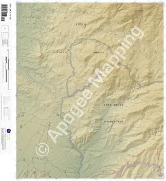
Four Peaks Wilderness, Tonto National Forest, Mazatzal Mountains, The Rolls, The Wata Ridges, Brushy Basin, Mine Mountain, Pine Mountain, Cottonwood Creek, Mesquite Wash, Picadilla Creek, Rock Creek, Boulder Creek, The Arizona Trail, Pine Mountain Trail, Soldier Camp Trail, Lower Soldier Camp Trail, Cane Spring Trail, Alder Creek Trail, Cline Cabin, Cline Trailhead, Cane Spring Trailhead, Soldier Camp Trailhead, Four Peaks OHV Trailhead, The Rolls OHV Recreation Area.
Adjacent Maps:
NW: Maverick Mountain, AZ
N: Boulder Mountain, AZ
NE: Tonto Basin, AZ
W: Adams Mesa, AZ
E: Four Peaks, AZ
SW: Stewart Mountain, AZ
S: Mormon Flat Dam, AZ
SE: Horse Mesa Dam, AZ
Digital Map:
The free Avenza Maps App provides customers the ability to purchase digital versions of all amTopo maps for both online and offline use. The Avenza Maps App lets you see your current GPS location and utilize navigation, tracking, and measuring tools plus add map features and layers.
To purchase a digital copy now, choose from the following links:
To get started, download the Avenza Maps App, then visit the Apogee Mapping, Inc. Avenza Digital Map Store to browse all available maps.


Reviews
There are no reviews yet.