


Description
Prominent Features:
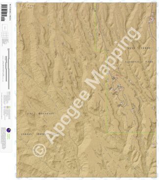
Mesa Verde National Park, Ute Mountain Indian Reservation, Wetherill Mesa, Chapin Mesa, Coyote Mesa, East Eagle Eye Mesa, Eagle Eye Mesa, East Ute Mesa, Wildhorse Mesa, Rocky Ridge, Pulpit Rock, Basin Butte, Pictograph Point, Rock Canyon, Navajo Canyon, Long Canyon, Horse Canyon, Ute Canyon, Pony Canyon, Horse Springs, Rock Springs, Step House Trail, Ute Trail, Pinyon Trail, Trail Cross Trail, Jordan Trail, Ute Springs Trail, Rock Springs Trail, Far View House, One Clan House, Navajo Watch Tower, Kodak House, Long House, Badger House Community, Nordenskjold Site #16, Mug House, Step House, Jug House, Double House, Inaccessible House.
Adjacent Maps:
NW: Mud Creek, CO
N: Cortez, CO
NE: Point Lookout, CO
W: Towaoc, CO
E: Moccasin Mesa, CO
SW: Tanner Mesa, CO
S: Moqui Canyon, CO
SE: Greasewood Canyon, CO
Digital Map:
The free Avenza Maps App provides customers the ability to purchase digital versions of all amTopo maps for both online and offline use. The Avenza Maps App lets you see your current GPS location and utilize navigation, tracking, and measuring tools plus add map features and layers.
To purchase a digital copy now, choose from the following links:

To get started, download the Avenza Maps App, then visit the Apogee Mapping, Inc. Avenza Digital Map Store to browse all available maps.


Reviews
There are no reviews yet.