
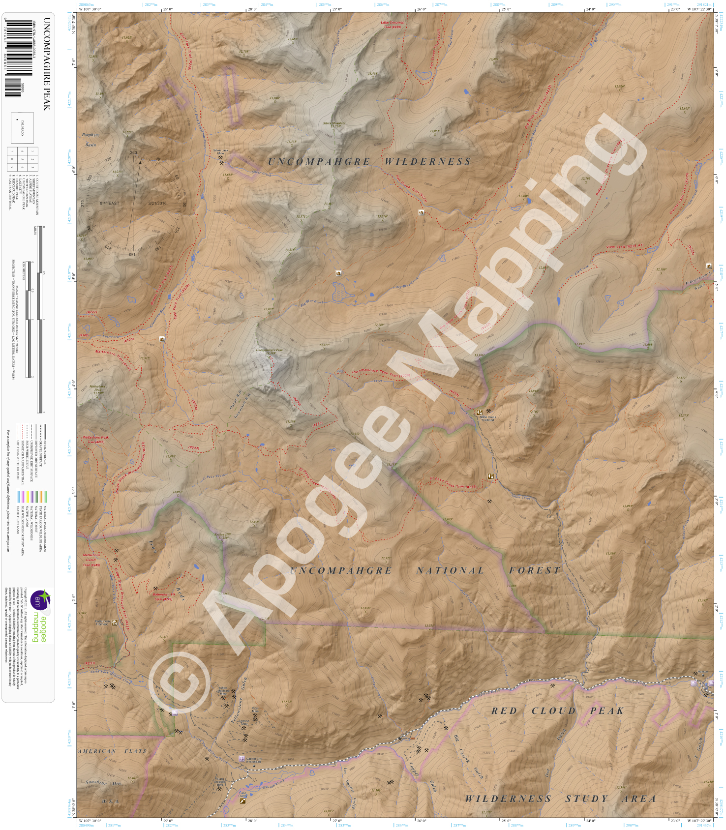
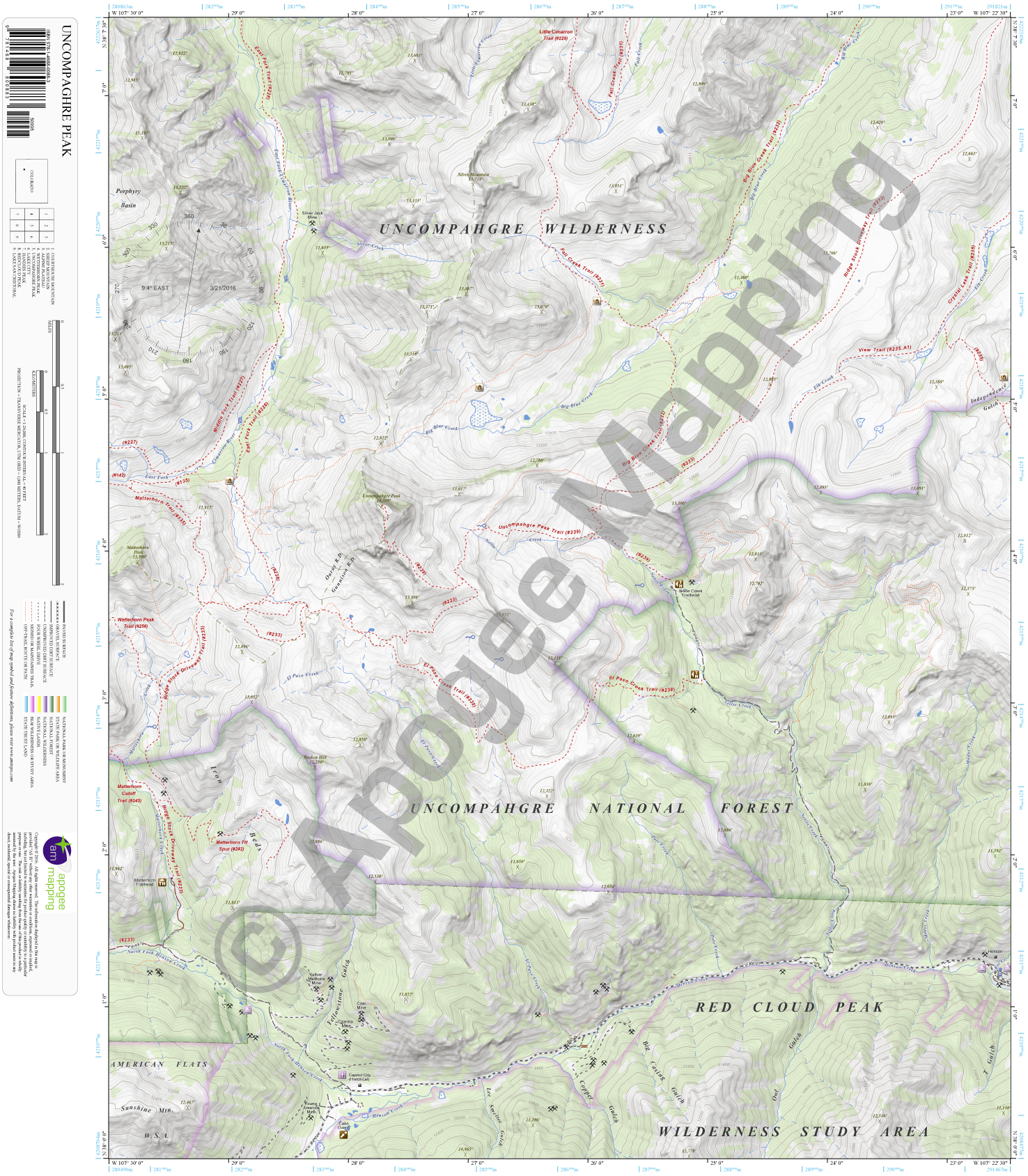
Description
Prominent Features:
Uncompahgre National Forest, Uncompahgre Wilderness, Red Cloud Peak Wilderness Study Area, American Flats Wilderness Study Area, Porphyry Basin, Iron Beds, Independence Gulch, T Gulch, Owl Gulch, Big Casing Gulch, Copper Gulch, Yellowstone Gulch, Sunshine Mountain, Uncompahgre Mountain, Matterhorn Peak, Silver Mountain, Broken Hill, East Fork Cimarron River, Silver Creek, Matterhorn Creek, El Paso Creek, North Fork Henson Creek, Henson Creek, Pole Creek, Nellie Creek, Modoc Creek, Elk Creek, Big Blue Creek, Fall Creek, Little Cimarron Creek, East Fork Trail, Middle Fork Trail, Matterhorn Trail, Wetterhorn Peak Trail, Ridge Stock Driveway Trail, Matterhorn Cutoff Trail, Matterhorn Trailhead Spur, El Paso Creek Trail, Uncompahgre Peak Trail, Big Blue Creek Trail, Fall Creek Trail, Little Cimarron Trail, Crystal Lake Trail, View Trail, Matterhorn Trailhead, Nellie Creek Trailhead, Silver Jack Mine, Capitol City, Henson, 14ers.
Adjacent Maps:
NW: Courthouse Mountain, CO
N: Sheep Mountain, CO
NE: Alpine Plateau, CO
W: Wetterhorn Peak, CO
E: Lake City, CO
SW: Handies Peak, CO
S: Redcloud Peak, CO
SE: Lake San Cristobal, CO
Digital Map:
The free Avenza Maps App provides customers the ability to purchase digital versions of all amTopo maps for both online and offline use. The Avenza Maps App lets you see your current GPS location and utilize navigation, tracking, and measuring tools plus add map features and layers.
To purchase a digital copy now, choose from the following links:
 Uncompahgre Peak, CO – Color Hillshade Uncompahgre Peak, CO – Greyscale Hillshade
To get started, download the Avenza Maps App, then visit the Apogee Mapping, Inc. Avenza Digital Map Store to browse all available maps.


Reviews
There are no reviews yet.