
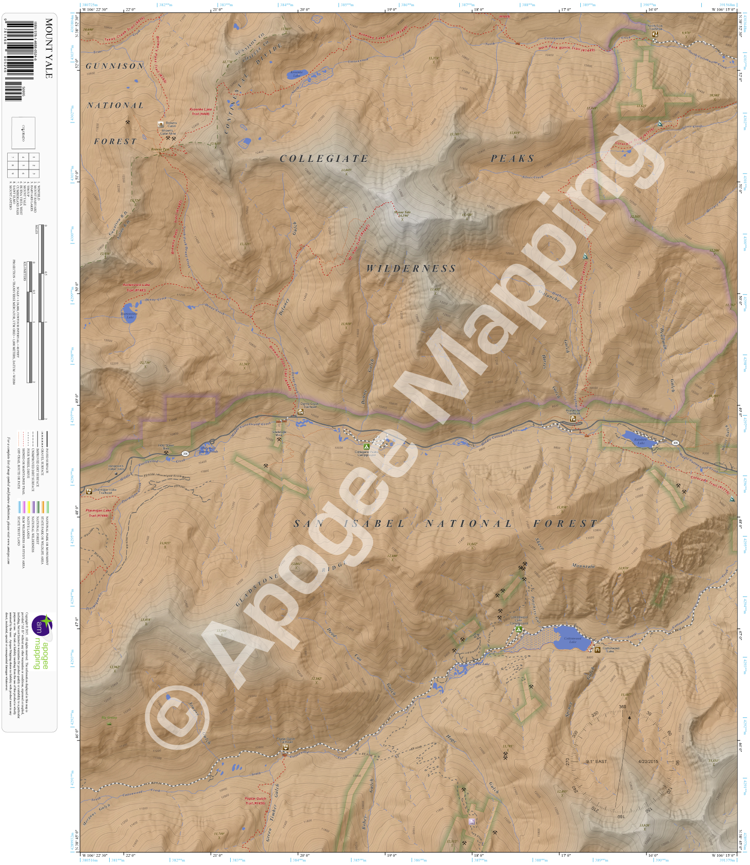
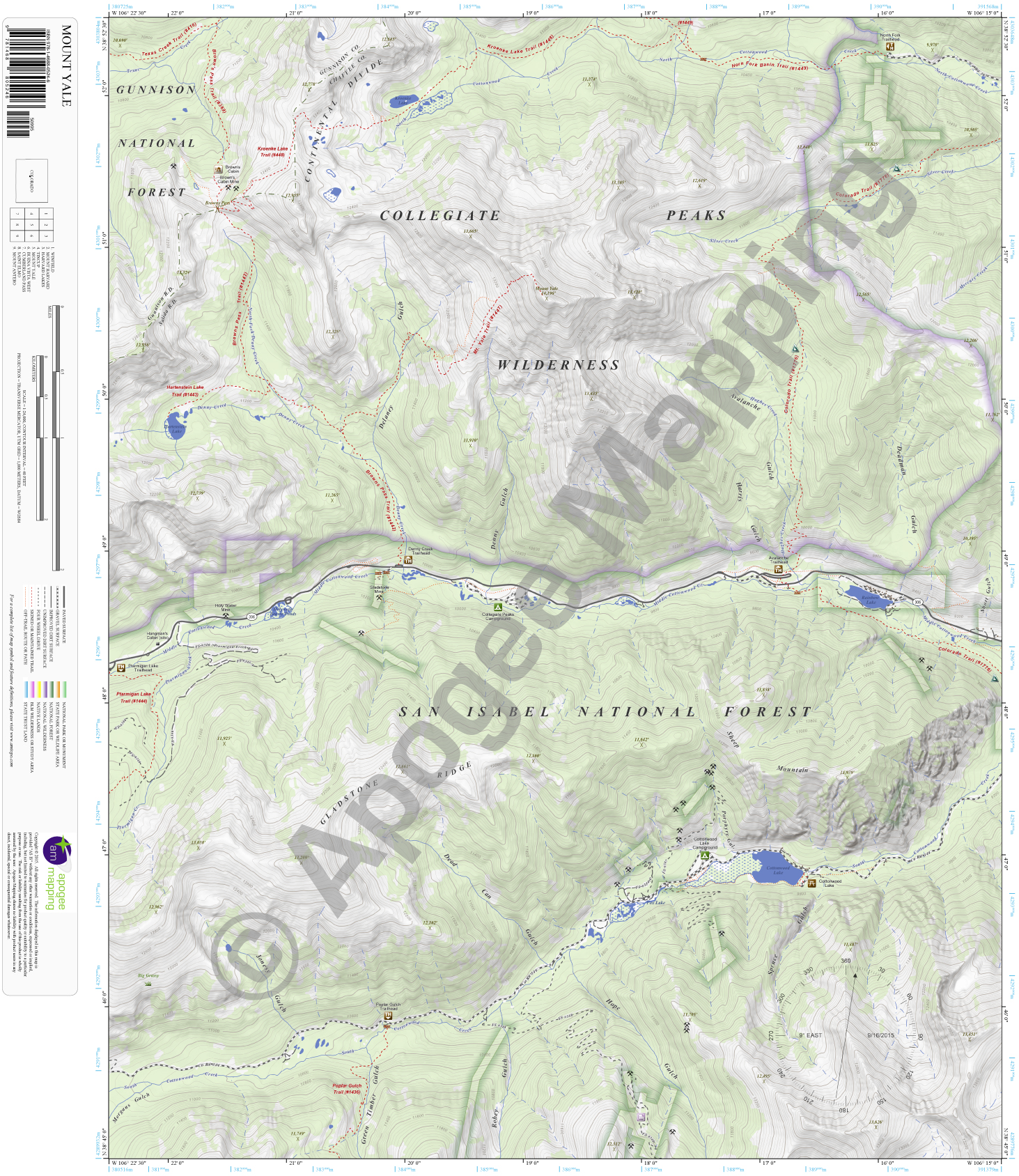
Description
Prominent Features:
Collegiate Peaks Wilderness, San Isabel National Forest, Gunnison National Forest, Continental Divide, Gladstone Ridge, Sheep Mountain, Mount Yale, Delaney Gulch, Denny Gulch, Avalanche Gulch, Deadman Gulch, Spruce Gulch, Hope Gulch, Robey Gulch, Green Timber Gulch, Jonesy Gulch, Dead Can Gulch, Kroenke Lake, Rainbow Lake, Cottonwood Lake, Hartenstein Lake, Denny Creek, North, Middle and South Cottonwood Creek, Silver Creek, Hughes Creek, Ptarmigan Creek, Colorado Trail, Horn Fork Basin Trail, Kroenke Lake Trail, Brown’s Pass Trail, Texas Creek Trail, Hartenstein Lake Trail, Mt. Yale Trail, Ptarmigan Lake Trail, Poplar Gulch Trail, Brown’s Cabin, Cottonwood Lake Picnic Area, Cottonwood Lake Campground, Collegiate Peaks Campground, Avalanche Trailhead, Denny Creek Trailhead, Ptarmigan Lake Trailhead, Poplar Gulch Trailhead, North Fork Trailhead.
Adjacent Maps:
NW: Winfield, CO
N: Mount Harvard, CO
NE: Harvard Lakes, CO
W: Tincup, CO
E: Buena Vista West, CO
SW: Cumberland Pass, CO
S: Saint Elmo, CO
SE: Mount Antero, CO
Digital Map:
The free Avenza Maps App provides customers the ability to purchase digital versions of all amTopo maps for both online and offline use. The Avenza Maps App lets you see your current GPS location and utilize navigation, tracking, and measuring tools plus add map features and layers.
To purchase a digital copy now, choose from the following links:

To get started, download the Avenza Maps App, then visit the Apogee Mapping, Inc. Avenza Digital Map Store to browse all available maps.


Reviews
There are no reviews yet.