

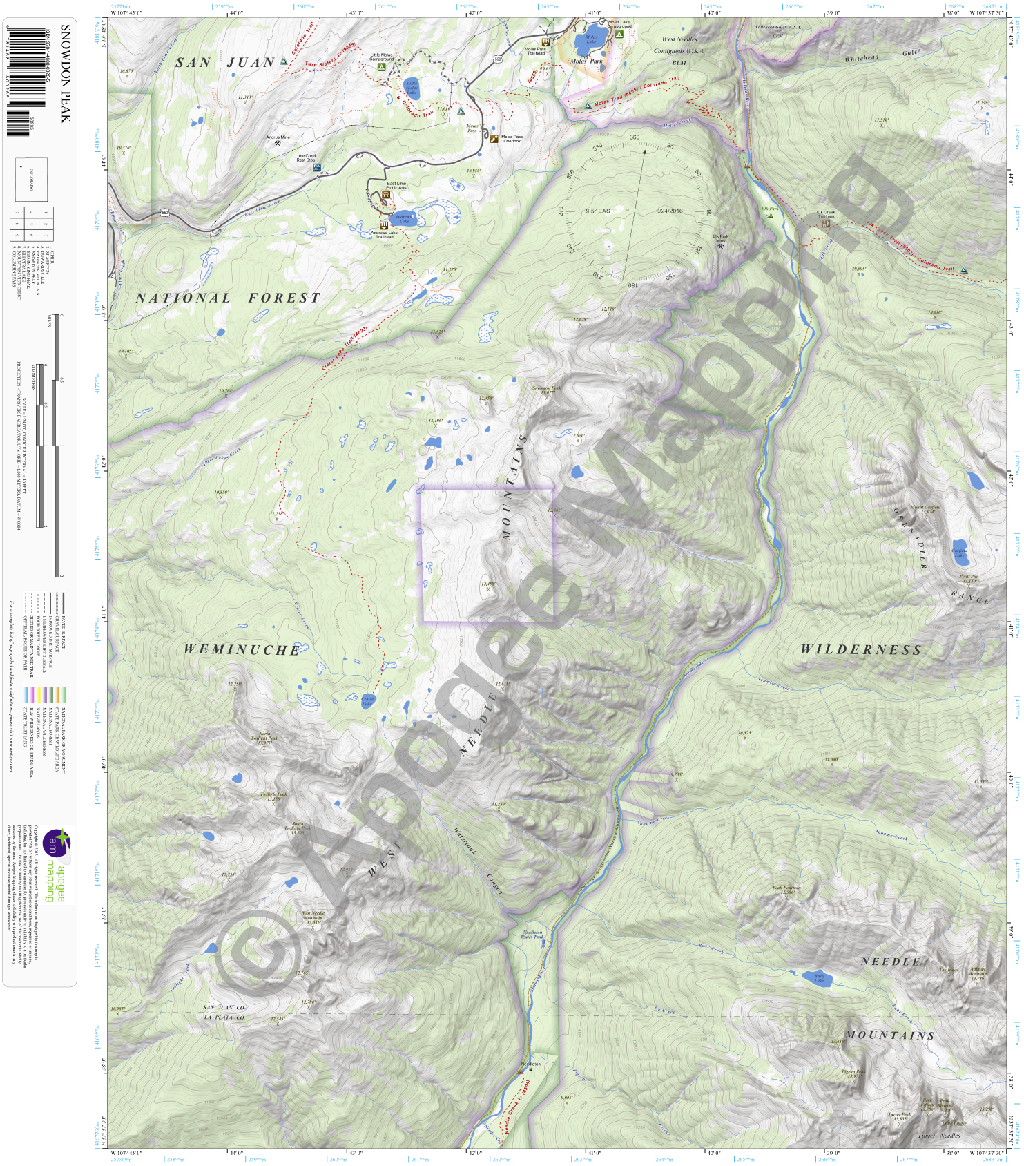
Description
Prominent Features:
Weminuche Wilderness, San Juan National Forest, West Needles Contiguous Wilderness Study Area, Whitehead Gulch Wilderness Study Area, Molas Park, Needle Mountains, West Needle Mountains, Grenadier Range, Turret Needles, Mount Garfield, Animas Mountain, The Index, Pigeon Peak, Turret Peak, Peak Fourteen, Peak Fifteen, Peak Sixteen, Little Finger, West Needle Mountain, South Twilight Peak, Twilight Peak, North Twilight Peak, Snowdon Peak, Molas Lake, Little Molas Lake, Andrews Lake, Garfield Lake, Ruby Lake, Crater Lake, Animas River, Pigeon Creek, Ruby Creek, Noname Creek, Tenmile Creek, Elk Creek, Lime Creek, East Lime Creek, Twilight Creek, Molas Creek, Durango & Silverton Narrow Gauge Railroad, Colorado Trail, Elk Creek Trail, Needle Creek Trail, Molas Trail, Crater Lake Trail, Lime Creek Rest Stop, Little Molas Campground, East Lime Picnic Area, Andrews Lake Trailhead, Molas Pass, Molas Pass Overlook, Molas Pass Trailhead, Molas Lake Campground, Elk Creek Trailhead, Elk Park, Needleton.
Adjacent Maps:
NW: Ophir, CO
N: Silverton, CO
NE: Howardsville, CO
W: Engineer Mountain, CO
E: Storm King Peak, CO
SW: Electra Lake, CO
S: Mountain View Crest, CO
SE: Columbine Pass, CO
Digital Map:
The free Avenza Maps App provides customers the ability to purchase digital versions of all amTopo maps for both online and offline use. The Avenza Maps App lets you see your current GPS location and utilize navigation, tracking, and measuring tools plus add map features and layers.
To purchase a digital copy now, choose from the following links:

To get started, download the Avenza Maps App, then visit the Apogee Mapping, Inc. Avenza Digital Map Store to browse all available maps.


Reviews
There are no reviews yet.